

About
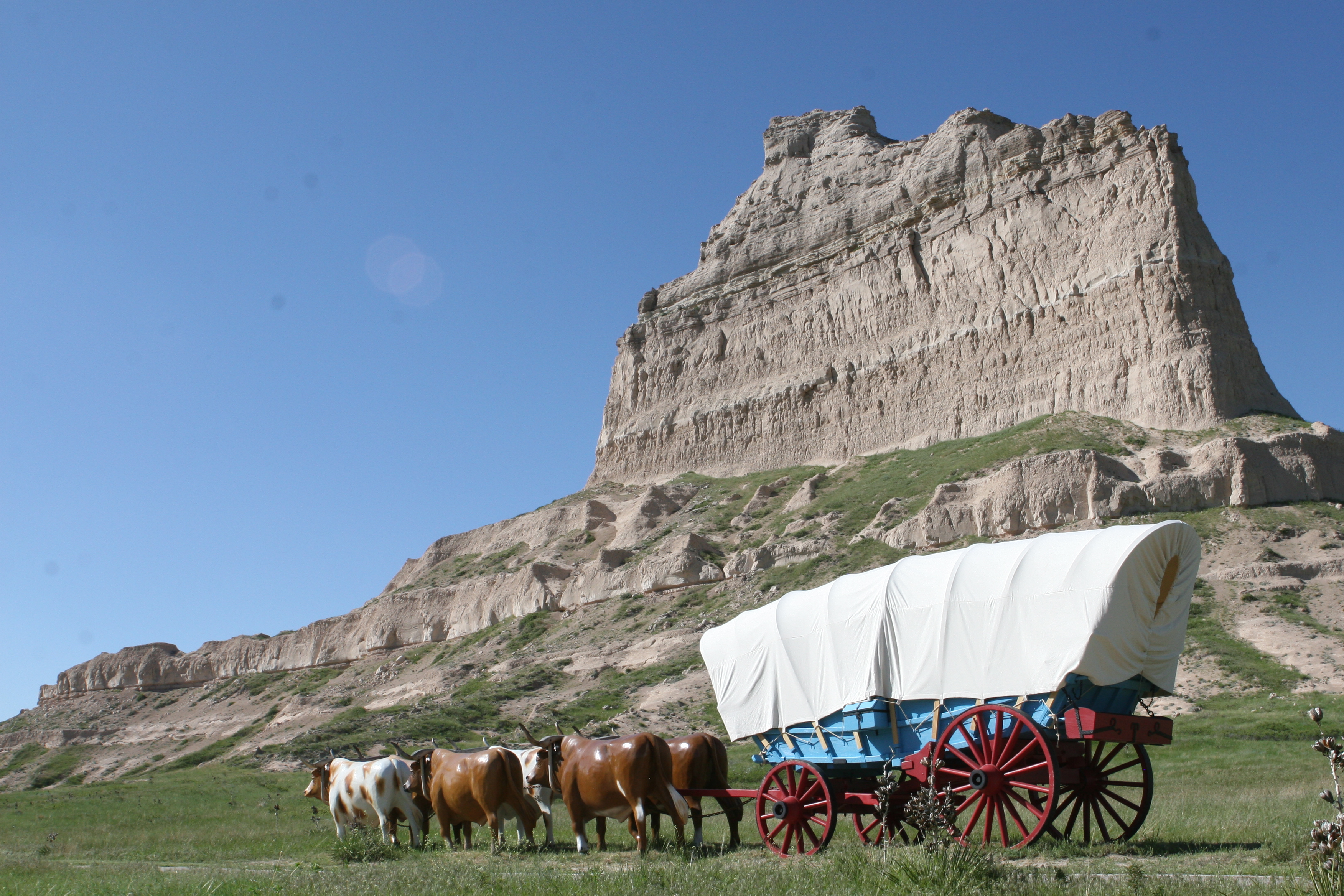
Massive sandstone cliffs rise 800 feet above the North Platte River, marking a historic waypoint for travelers on the Oregon and California Trails. You can hike the three thousand acres to see fossil beds and old pioneer landmarks along the valley floor.
Updated
Charging at a glance
- Closest listed charger: 3.5 km (DC Fast)
- Closest listed DC fast charger: 3.5 km
From the Open Charge Map listings under Charging nearby.
Quick Facts
Notable for: landmark for peoples from Native Americans to emigrants on the Oregon, California and Mormon Trails
Founded: December 12, 1919
Camping and fees
- Entry fee
- : No entrance feeSource: www.nps.gov
- Camping
- : No camping or lodging availableSource: www.nps.gov
Charging nearby
Charging data from Open Charge Map
NPPD EV STATION SB SINCLAIR DCS
View on Open Charge MapDC Fast3.5 kmNPPD EV STATION NPPD SCTSBLF L2
View on Open Charge MapL24.4 kmHAMPTON INN SCB HAMPTON INN SCB
View on Open Charge MapL26.1 kmFFI SCOTTSBLUFF A
View on Open Charge MapL26.6 km
Worth the detour?
No verdicts yet - be the first who's been there.
Sign in to leave a verdictAttribution
- en.wikipedia.org
- nps.gov
- nps.gov
- nps.gov
- NPS - National Park Service
- National Park Service - National Park Service, U.S. Department of the Interior
- Recreation.gov (RIDB) - Recreation Information Database (RIDB)
- Wikidata - Wikidata / Wikimedia Commons
- Wikipedia - Wikipedia (CC BY-SA)